2001-2002
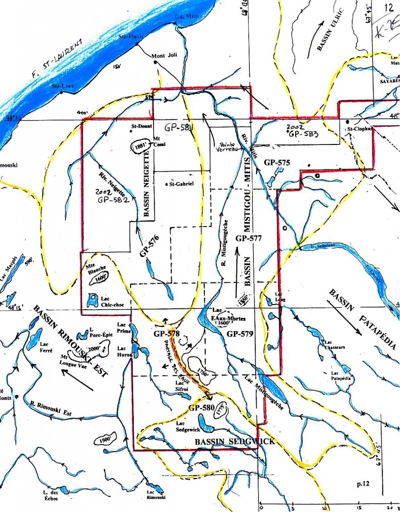
In order to promote the Lower St. Lawrence and the Gaspé Peninsula, the Quebec Department of Natural Resources (MRNF) acquired a series of seismic profiles in 2000 and 2001 in the Matapedia region. Squatex's first initiative was to request five oil and gas exploration permits on October 30, 2001 over land located close to Lake Matapedia. These permits covered 113,929 Ha. Three of the MRNF's seismic profiles, namely lines MRN2001-02, MRN2000-08 and MRN2001-04, were partly located within Squatex's permits. The following year, four other permits totalling 65,618 Ha and extending up to the St. Lawrence River were acquired north of the five original permits (Figure 1).
During the summer of 2002, the Department of Natural Resources acquired a new series of regional seismic profiles in the Gaspé Peninsula. Squatex decided to make the most of the presence of Géophysique GPR/Kinetex's equipment to record a 20 km seismic profile on its property (line SQX-2002-01 at about 10 kilometers from line MRN 2001-02) between St-Gabriel de Rimouski to the north, via Les Hauteurs and St-Charles-Garnier and ending in a ZEC. This additional good quality data combined with the data from the Department of Natural Resources greatly improved the basic understanding of the structural context and of the petroleum potential over the central part of the property.